Agricultural monitoring has made an unprecedented technological leap forward thanks to advances in satellite technology. Globally, sophisticated digital tools are emerging to address the challenges of modern agriculture, often available free of charge. This article highlights an innovative tool, Sentinel GreenReport Plus, which enables nationwide satellite monitoring of crops. Equipped with high-resolution satellite imagery and climate data, this tool is proving indispensable to a wide range of users, from agricultural producers to researchers. In this dynamic, connected agriculture, enhanced by applications such as AgriSat and Cultures Insight, is transforming the way farmers manage and maximize their yields while ensuring the sustainability of their practices. The challenges of climate change and the need for rapid response to anomalies make these tools even more critical.
Introducing Sentinel GreenReport Plus and its Features
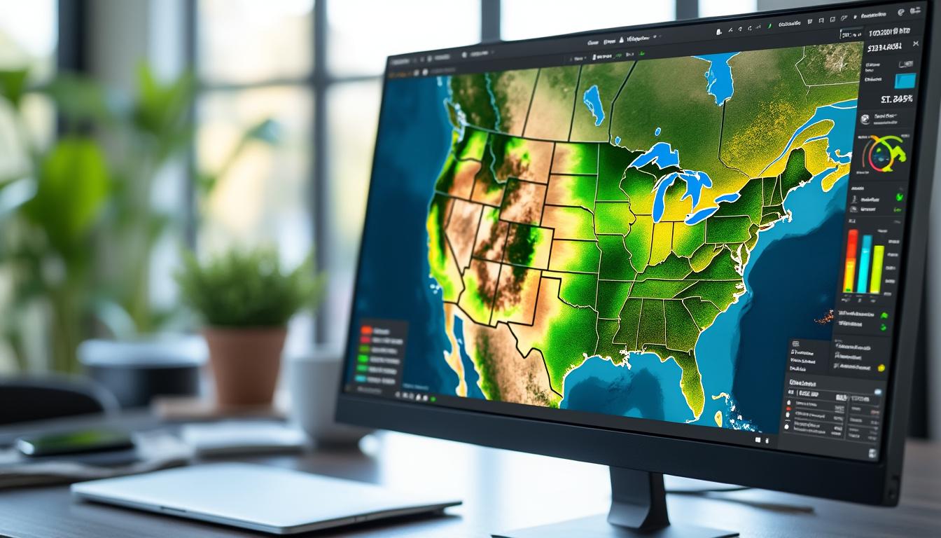
Sentinel GreenReport Plus is a tool developed by researchers at the University of Kansas, in collaboration with KansasView and AmericaView. This publicly available system offers a suite of analyses and visualizations on crop health and vegetation cover across the United States. The goal is to provide an intuitive interface where any user, whether a farmer, teacher, or researcher, can easily access accurate and up-to-date data.
Key Features of Sentinel GreenReport Plus
Sentinel GreenReport Plus leverages data from the European Space Agency’s Sentinel-2 satellites. Here are some of its distinctive features:
- Greenness Mapping: Uses the Normalized Difference Vegetation Index (NDVI) to represent active plant biomass.
- Seasonal Difference Maps: Compares vegetation data from one period to the next, providing information on growth variations.
- Climate Analysis: Integrates climate data to better understand the impact of weather conditions on crop health.
- History and Trends: Allows users to visualize changes over time, providing crucial insight into potential yield biases.
Application in Crop Monitoring
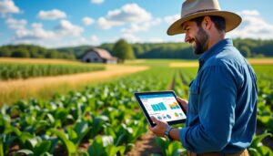
Farmers can use this tool to access specific data about their crops. For example, if a farmer wants to monitor their corn crop, they can select that crop type in the app. They can then draw a rectangle around their field, and instantly, several graphs appear, illustrating current vegetation health compared to historical averages.
This ability to accurately analyze plant cover allows farmers to anticipate irrigation needs or identify signs of stress before they become major problems. In addition, they can compare these results with climate data, such as rainfall, to better understand the influence of weather on their production.
| Feature | Description | Benefit |
|---|---|---|
| Greenness mapping | Use of NDVI for biomass monitoring | Rapid identification of crop health |
| Temporal comparisons | Analysis of vegetation changes | Understanding growth cycles and climate impacts |
| Climate integration | Associated climate data | Anticipation of climate-induced stress |
These monitoring tools not only enable better crop management, but also informed decisions that can contribute to more sustainable agricultural practices. The combination of this data and artificial intelligence offers unprecedented opportunities for the connected agriculture sector.
The growing importance of satellite images in agriculture
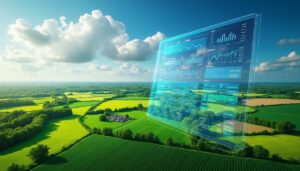
The use of satellite images is increasingly important in contemporary agriculture. With the regular coverage of satellites such as Sentinel-2, it is now possible to respond quickly to changes in the field. These images are invaluable for analyzing agricultural performance over large areas.
Crop monitoring and anomaly detection
Anomalies in agricultural production, such as pest infestations or diseases, can be detected relatively early thanks to analyses based on satellite images. This allows farmers to carry out targeted interventions, minimizing losses and maximizing yields. For example:
- Rapid identification of areas affected by infestations. Crop health monitoring using indices such as NDVI.
- Targeted irrigation and crop inspection planning.
- This monitoring method enables precision farming, where every crop need is taken into account, eliminating the need for numerous chemical treatments. The use of tools such as GeoAgri and SatAgriMonitoring also plays a key role in this approach.
Use Cases and Benefits A prime example of the impact of satellite imagery is assessing losses due to drought. By examining crop health using vegetation indices, farmers can understand not only the condition of their crops, but also how this affects their potential yield. Data can be shared with insurers to generate damage reports, facilitating the claims process. This information sharing improves transparency between producers and insurers, while optimizing business decisions. Use Benefit
Example
Disease detection
Rapid intervention
| Localized pesticide application | Irrigation monitoring | Water conservation |
|---|---|---|
| Analysis of specific needs by area | Damage assessment | Claims optimization |
| Insurance loss reporting | With tools such as | Terres de Surveillance |
| it is now possible to transform complex data into digestible and actionable information. Thanks to these innovations, the transition to a | digital farm | is becoming a tangible reality, allowing farmers to juggle the demands of more productive and sustainable agriculture. |
Data accuracy and timeliness In a constantly changing world, the accuracy of agricultural data is essential. Satellite-generated images provide a resolution of 10 meters, enabling detailed analysis of crops, unlike previous systems that were limited to resolutions of 1,000 meters. This allows for detailed observation of cultivation practices and yields.Data Accuracy Challenges The importance of accurate data cannot be underestimated. Farmers and researchers depend on this information to assess crop health and plan seasonal activities. Here are some key challenges: Predictable Yields:
The ability to activate early warnings of crop problems.
Resource Management:
Better allocation of water and fertilizers while respecting the environment.
Historical Data:
- Comparing time series helps verify the effects of climate change. Integration with other agricultural technologies
- Satellite images are not sufficient on their own. They must be integrated into a comprehensive farm management strategy. Combined with field tools, this data enriches analysis, whether using drones for specific inspections or integrating soil sensors to measure moisture. For example, the combination of tools like SmartAgri and AgriSat enables data fusion for increased control. Technology
- Feature Benefit
Drones
Precision inspection Documentation of localized anomalies Soil sensors Moisture measurement Irrigation optimization
| Mobile app | Instant data access | Improved responsiveness |
|---|---|---|
| This convergence of tools not only enables yield optimization but also improves ecological practices. Thanks to systems like the Agricultural Observatory, value chain stakeholders can collaborate more effectively, contributing to a future where sustainable agriculture is the rule rather than the exception. | The Future of Connected Agriculture | With the continued growth of the world’s population and the growing impact of climate change, the future of agriculture necessarily involves increasing digitalization. Tools like the Sentinel GreenReport Plus represent a concrete step in this direction, promoting decision-making based on reliable data. |
| Transition to Sustainable Agriculture | Today’s farmers must integrate digital tools into their management strategies. Experience and practices must evolve to meet the expectations of growing consumption while respecting the environment. Here are some directions being considered: | General Adoption of Digital Tools: |
| Encourage farmers, regardless of their skill level, to use modern technologies. | Continuous improvement: | Invest in research and development to enhance existing tools. |
Partnerships: Create synergies between technology startups and farmers to evaluate new tools.Conclusion on the future of digital services in agriculture
Implementing digital services in agriculture isn’t just a matter of technology; it’s also a matter of changing mindsets and corporate culture. By integrating technologies like connected agriculture, farmers will be able to look to the future of their profession with optimism, knowing that they have the tools they need to navigate the sector’s upcoming challenges. Innovations like Digital Farm and various applications like Crops Insight are testament to this evolution, illustrating that our relationship with the land and agriculture is constantly evolving.